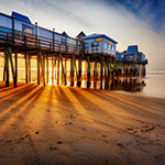
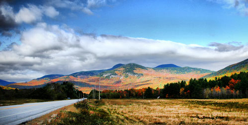
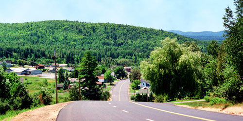
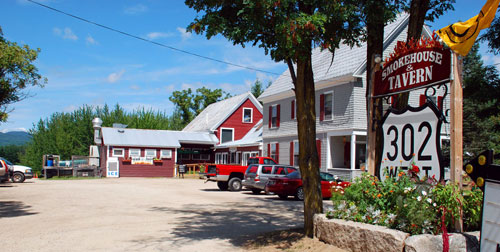
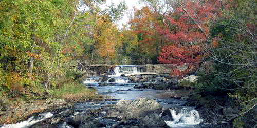
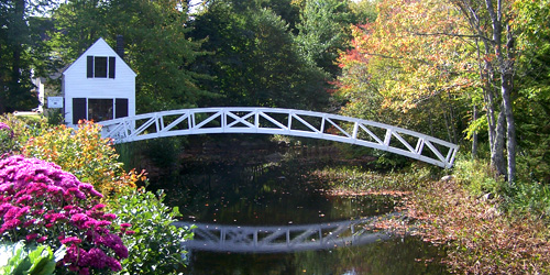
With all its majesty and natural beauty, Maine offers some of the most scenic drives in America, maybe especially during fall foliage season. Take a scenic drive, following the specific directions below, if you wish, on your Maine vacation. Do not miss Maine's scenic drives, foliage drives, scenic highways, and National Scenic Byways.
See more beautiful images of New England by Massachusetts photographer
Jeff Folger.
Along Route 26 Newry to Umbagog State Park, ME Phone:
Route 11 Portage to Fort Kent, ME Phone:
Along Route 113 from Baldwin to Gilhead, ME Phone:

Route 1 to Route 186 Winter Harbor, Birch Harbor, Prospect Harbor, ME Phone: 207-624-3300
Along Route 201 Solon through Jackman to border of Canada, ME Phone:
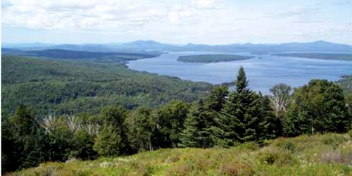
Along routes 4 and 17 Around Rangeley Lake, ME Phone: 800-685-2537

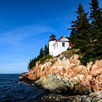
Route 3 and carriage roads of Acadia National Park Bar Harbor, ME Phone:
Along Route 1 Danforth to Orient, ME Phone: 207-624-3300